| B I K I N G | tj|tl|in|ca|st |
S I G N A L M O U N T A I N
Grand Teton National Park
Northwestern WyomingSunday, August 15, 2004
Bike: #12
Location: Grand Teton National Park, Wyoming
Distance: 46.6 miles
Climb Elevation: 1,200 feet
Tread: Paved road
Ride Miles/Time/Avg/Max: 46.6/2:55:36/15.9/37
| Rating: |
 |
(5 max) |
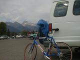
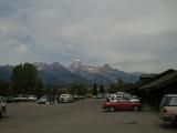
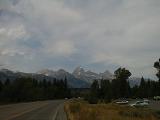
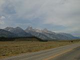
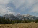
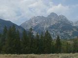
My bike tour to Signal Mountain and back will take me past the Grand Tetons seen here in the distance. As I prepare for my ride, the weather looks as if it might rain at any time.
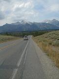
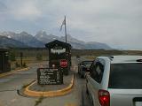
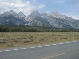
My ride starts out crossing the Snake River then quickly encounters the South Entrance to Grand Teton National Park. I have a National Park Annual Pass so to get in all I have to do is show my park pass and drivers license. The National Park Pass is such a great deal if you're traveling a lot. So far I've used it at Glacier National Park, Yellowstone, and now here in the Tetons.
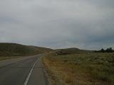
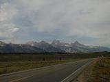
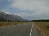
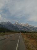
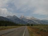
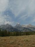
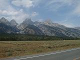
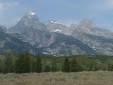
As I peddle along, the Tetons grow larger and larger.
Page
1
2
3
4
5
6
7
8
>>>
Photo Gallery
Travel Log | Reference
Prev Bike |
Next Bike
|