| H I K I N G | tj|tl|in|ca|st |
A N D R E W S B A L D
Great Smoky Mountains National Park
North Carolina/Tennessee BorderSunday, November, 7, 2004
Hike: #9
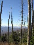
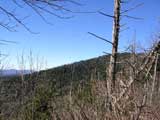
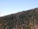
Location: Near Clingmans Dome, the highest point in Great Smoky Mountains National Park.
Distance: 3.6 miles
Elevation Change: 600 feet
Tread: Forest path, barren bald
Miles/Time/Avg: 3.6/2:00:00/1.8
| Rating: |
 |
(5 max) |
Time to get this hike underway.
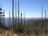
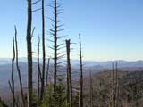
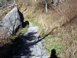
Oh good, this looks to be a nice, scenic trail.
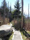
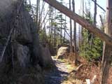
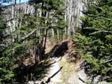
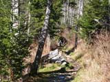
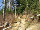
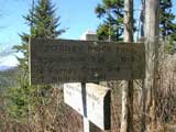
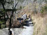
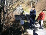
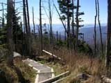
The trail starts out a bit on the steep side. Good thing it's as dry as a bone. Ahhh, there's another signpost. It's always good to know which way to go because there's nothing worse than getting lost or misdirected. It's a good thing I'm really thorough when I read my signs. It says I only have 1.7 miles to trail's end, piece-o-cake.
Page
1
2
3
4
5
>>>
Photo Gallery
Travel Log | Reference
Prev Hike |
Next Hike
|